Facilities run on the knowledge of the people who run them.
Spatial Ops is a spatial operations platform built on ArcGIS Knowledge as its management and integration engine. It turns the experience and know-how already inside your organization into a graph that both people and AI can read — so adding AI is about enhancing your team, never replacing it.
Built on & integrates with





Knowledge graphs turn AI from a black‑box solution into a powerful, explainable tool — one that guides algorithms toward decisions your team can actually stand behind.
KNOWLEDGE GRAPH · CORE MODEL
One graph, every relationship that matters.
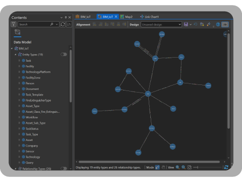
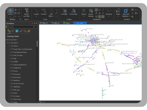
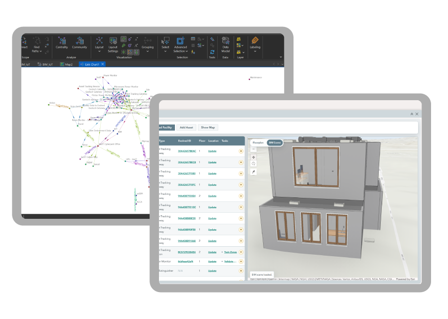
On a basic level, the graph defines your assets, their types and locations, and how they relate to people, tasks, and one another — in a structure both people and AI can understand and act on. It's the same knowledge your best technician carries around, made queryable.
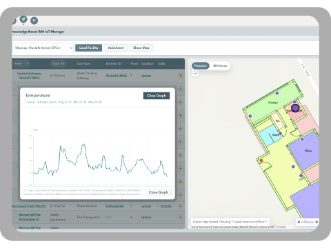
With our proprietary Evolved.City IoT framework, you can see where assets are located in real time, and trigger alerts or tasks automatically the moment something moves.
- Assets — type, location, condition
- People — skills, availability, teams
- Tasks — owner, priority, dependencies
KNOWLEDGE GRAPH · IN PRACTICE
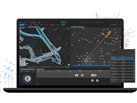
The graph does the noticing, so your team can do the fixing.
Knowing how different types of assets relate to each other and to space enables automated task management and preventive maintenance across the whole facility.
KNOWLEDGE GRAPH · PEOPLE
Find the right person for the job — even at scale.
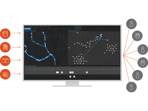
Because the graph knows the relationships between people, locations, tasks, and assets, Spatial Ops can match the job to the right person automatically. It works the same way whether your organization has a dozen people in one building, or thousands spread across thousands of kilometers.
IOT FRAMEWORK · EVOLVED.CITY
Eyes Across All Your Spaces?
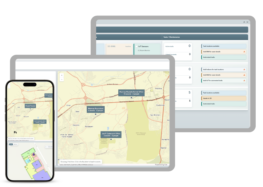
Evolved.City extends the graph into the physical world in real time: locate assets, check environmental conditions like temperature and noise, monitor energy and resource use, and more. Every measurement can be queried to build analysis-ready graphs and reports.
AI & MACHINE LEARNING
Feed real data to the AI tools you choose.
IoT data can power AI and machine learning algorithms directly. Pick the best AI tools for your needs, feed them your data, and have the results integrate back into Spatial Ops automatically.
AI and smart algorithms are most useful when they're tightly integrated with your actual needs and tasks — not bolted on as a separate system.
CONNECTIVITY · EVOLVED.CITY
Real-time by default. Compatible by design.
Real-time sensor data and workflows in Spatial Ops are powered by Evolved.City — but you're not limited to new hardware. Existing equipment integrates too, through our stack of edge codebase and middleware.

MQTT

HTTP

Zigbee

Modbus

BACnet

LoRaWAN
INTEGRATION
Comprehensive enough to run on its own. Flexible enough not to have to.
Spatial Ops integrates with the systems you already run — SAP, the Oracle ecosystem, or domain-specific management and IoT tools — through a service architecture, at the data level, or through middleware adaptors. Never worry about disrupting your existing setup. Focus on what real-time geospatial intelligence brings to your organization.
Works with the systems you already run












START HERE
Give your AI a map of what your people already know.
Tell us about your facilities, your systems, and where you'd like Spatial Ops to start.